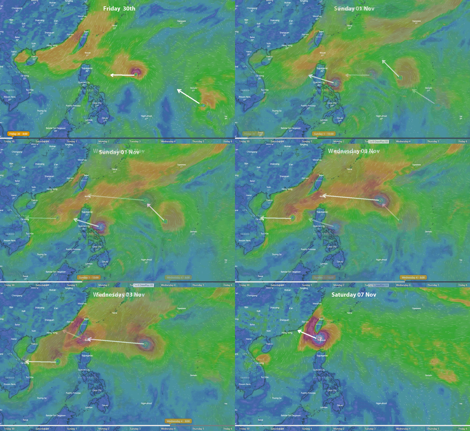
We have a new typhoon brewing in the Pacific Ocean.
over the past 2 weeks we have seen a train of typhoons develop and track due west, across the Phillippines to Vietnam.
These typhoons are forming because the sea temperatures are so high after a very hot summer (the warmest on record) and the excess energy is being vented into the atmosphere.
The new typhoon developing now (as shown on the animated give below) will follow a different track.
The upper atmospheric jetstream has moved further north, effectively opening up a clear path for the typhoon to track closer to Hong Kong.
The current forecast is for it to come close to Hong Kong on Sunday Nov 8. This post will be updated each day for anyone planning a sea kayak trip around that time.
The image below is animated showing the forecast track over the coming week. If it does not play automatically, you may need to click it.


